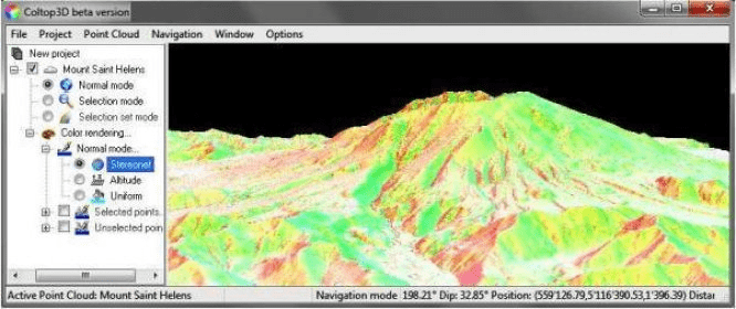
Coltop3D is a full featured LIDAR data processing and analyzing software for geologists. It is designed for the interactive analysis of orientation of airborne and terrestrial LiDAR data and digital elevation models (DEM) at local and regional scale. The software is capable of many applications; it is optimized for data visualization and structural analysis in different domains:
- Structural geology
- Natural hazards
- Mines and quarries
- Civil engineering
Comments